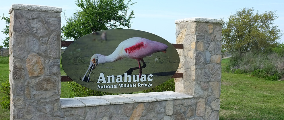
The refuge still suffers from the aftermath of Hurricane Ike, which inundated its marshes and ponds and leveled its buildings and boardwalks. The boardwalks are back and expanded in some places. The ponds and their vegetation are recovering, and a new onsite visitors information center is under construction. (A more extensive visitors center in Anahuac encompasses all the area refuges and even has its own short interpretive trails.)
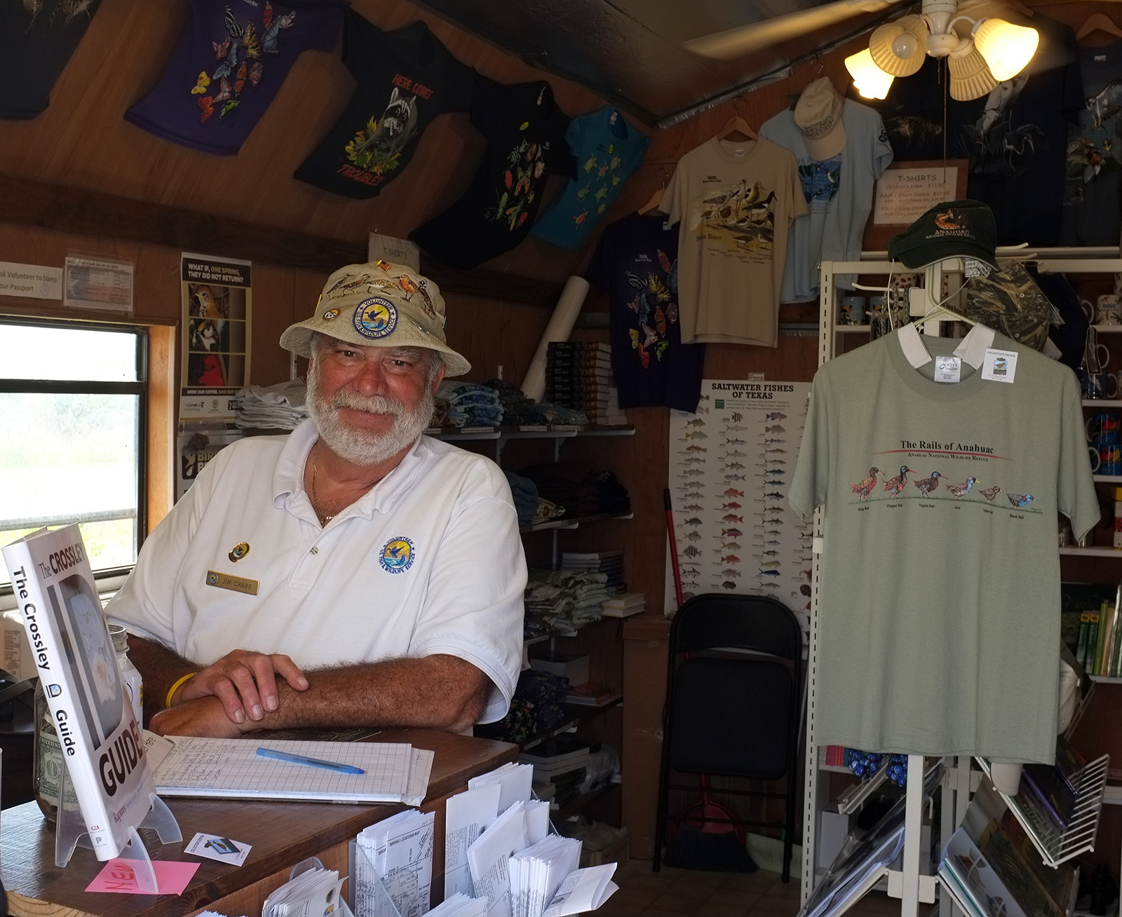
Temporary visitors shack staffed by a volunteer
At the refuge entrance there are restrooms and a temporary visitors shack staffed by one of the refuge’s many volunteers. In the shack, you can get maps, books, t-shirts, pins and other paraphernalia, as well as the latest on birds people have spotted recently. From there, you can either stroll the boardwalk that winds around a neighboring grove of trees and small ponds or take one of the longer “car trails.”
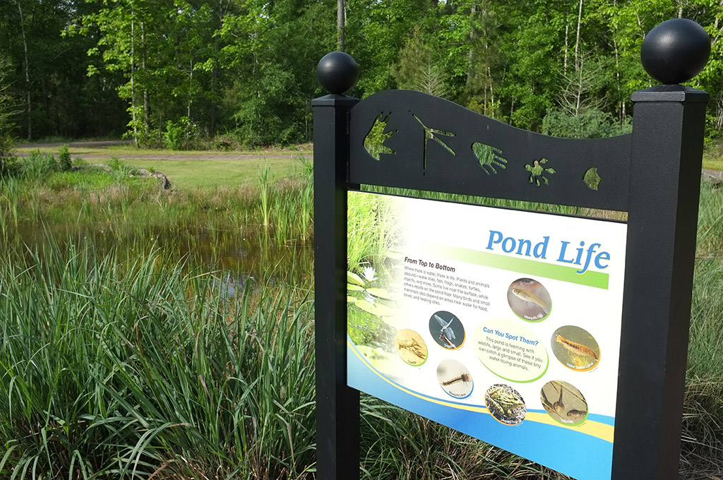
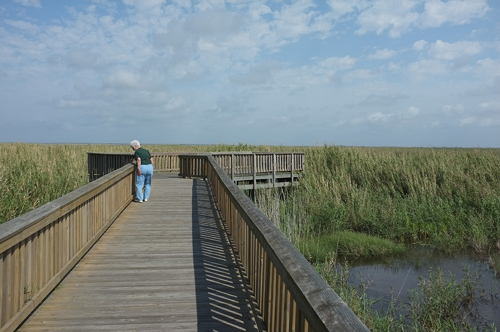
The Willows. A short walk from the visitors shack, a boardwalk loops around one of the few groups of trees on the otherwise flat plain of the refuge. Small migratory birds flit from tree to tree, while herons and egrets wade in the shallows.
Oyster Bayou. Just to the left is a short road down to a boat ramp on Oyster Bayou.
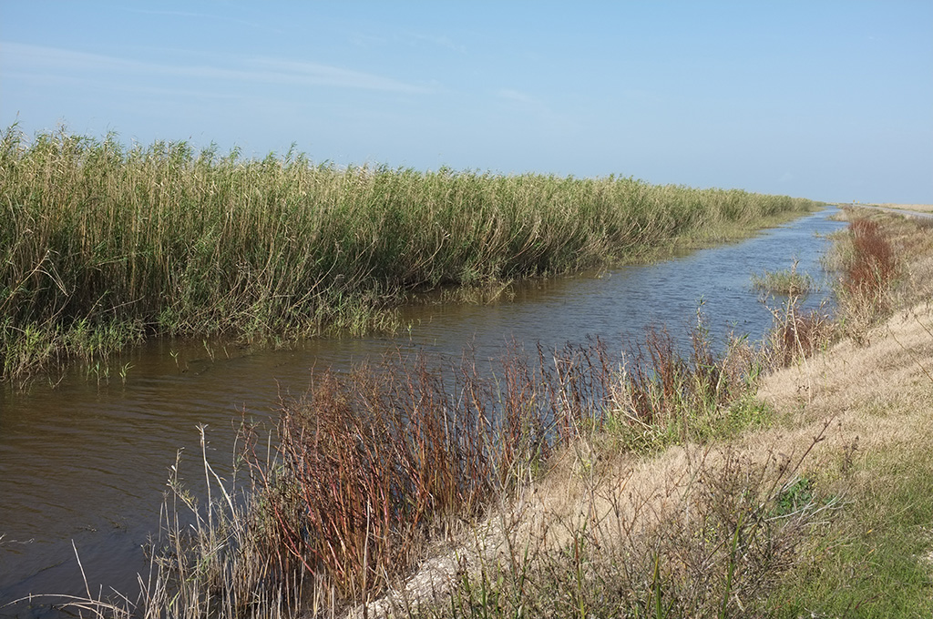
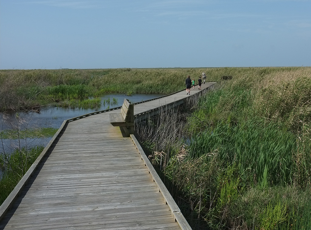
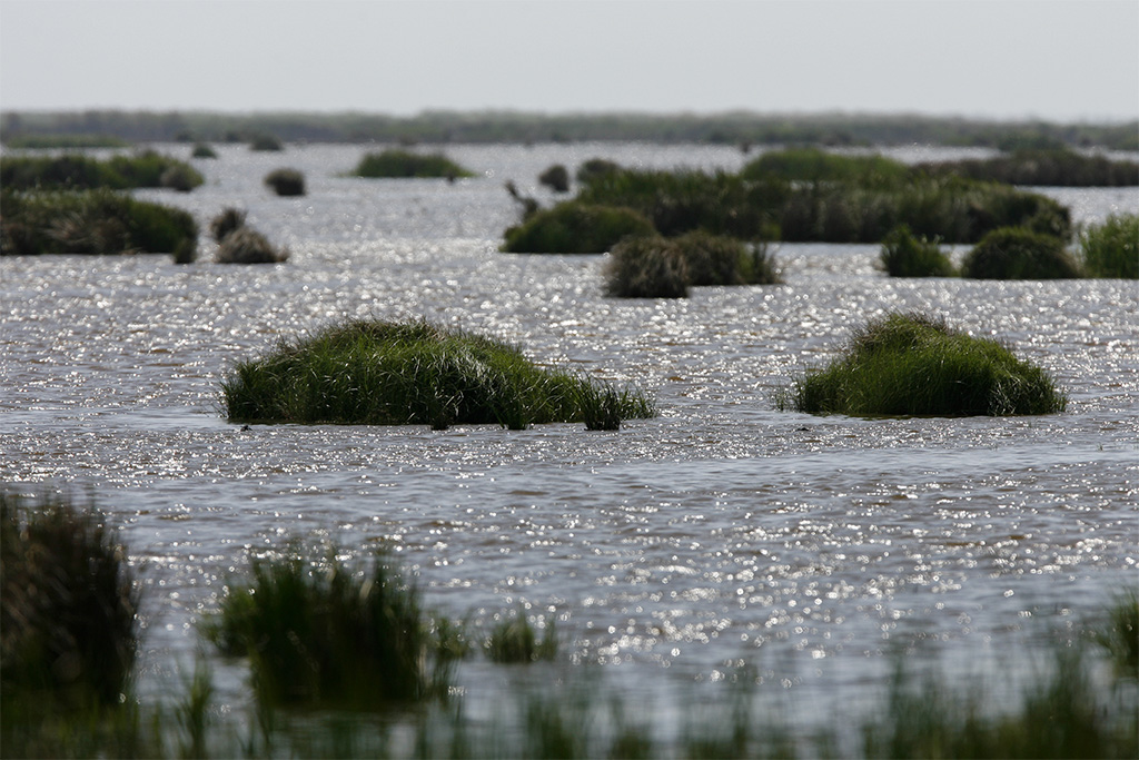
Shoveler’s pond. A one-way car trail loops around Shoveler’s Pond. Not long ago, the pond was high and dry, but the water is filling in now. Along the roadside is a shallow canal. You’ll see cars creeping along with binoculars poking out the window, looking for birds and alligators. On the far side, a long boardwalk wanders through the marsh grasses to an observation deck that overlooks the pond.
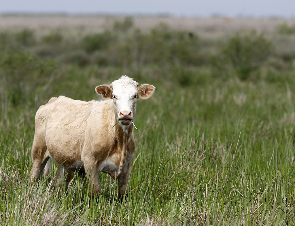
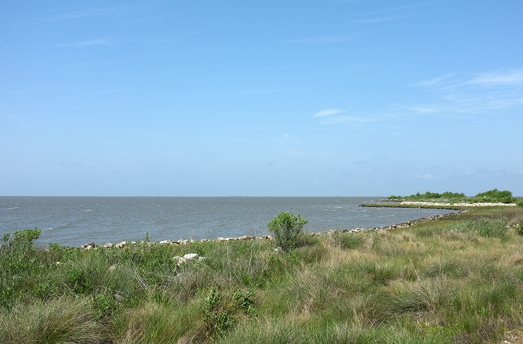
Frozen Point Road. Taking the road straight from the entrance, you wind down a long gravel road to the shore of East Bay. Along the way you pass by a huge marsh to your left, meadows strewn with flowers and cattle grazing on the prairie. You’ll see birds in the canal along the roadside, on fence posts and in the scrub brush nearby. As you get closer to the water, you’ll see Willet and other shorebirds. There’s a boat ramp and several pulloffs along the shore, where the water is shallow enough for wade fishing.
Boat ramp. Cross Road, which turns right off the main road, leads to another boat ramp and fishing area on the west side of the refuge.
REFUGE GALLERY


