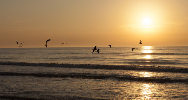
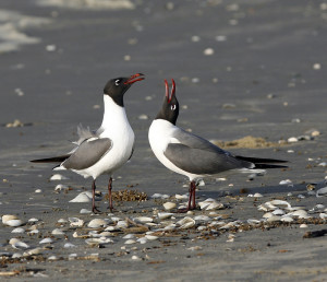
The beach is not much different from others on the west end of Galveston, with grassy dunes and, in places, marshy freshwater ponds behind them. Particularly early in the morning, the beach may be alive with resident and migrant shorebirds chasing a meal the shallow surf, with flocks seagulls and orderly lines of brown pelicans soaring above. Higher up the beach, ghost crabs scurry between their holes in the drier sand.
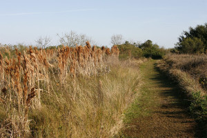
The bulk of the park’s 1,998 acres lies on the bay side, where the scene switches to tall grass prairie and marshland on the edge of Galveston Bay. An observation platform at one end of the road looks out across the park to the bay, and a nearby boardwalk crosses into the wetlands.
Short hiking trails – all of which are less than a mile – branch off at various points from the road:
- Caracara Trail (.37 mile) circles a stand of oaks and gets its name from the colorful crested caracara.
- Duck Lake Trail (.19 mile). A short, interpretive walk through prairie and a view of freshwater ponds.
- Egret Loop (.48 mile). Look for wading birds feeding along the bayous.
- Freshwater Pond Loop (.68 mile). A loop around a pond where you may see an alligator.
- Heron’s Walk Trail (.70 mile) wanders through marshes and salt flats to an old observation platform – an area popular with wading birds.
- Jenkins Trail (.30 mile) follows the banks of Jenkins Bayou.
- Prairie Trail (.80 mile) shows what much of Galveston looked like before its development.
If you have a canoe or kayak, you can reach deeper into the wetlands on three paddling trails:
- Dana Cove Trail (2.9 miles) Mostly open water.
- Oak Bayou (4.3 miles). A mixture of bayous and coves with a look at the park’s wetland restoration project.
- Jenkins Bayou (2.5 miles). A secluded bayou excursion with good birding potential.
PARK GALLERY


You must be logged in to post a comment.