At a glance
Distance: 12-16.5 miles roundtrip
Elevation change: 2,000 feet
Hiking time: 7-9 hours
Highlights: Panoramic views of the mountains into Mexico, a short hike up to the park’s highest peak and diverse terrain along the way.
Difficulty: ★★★★☆
The trail is a long day hike with a steep climb along the Pinnacles Trail at its start.
Trail conditions: ★★★★☆
Heavy traffic makes the path easy to follow, with a just few stretches of broken rock.
Scenery: ★★★★★
Spectacular views of the desert and mountains to the horizon from the rim and diverse woodlands along the way
Solitude: ★★★☆☆
The trail is among the park’s most popular, but its length keeps it from getting seriously crowded.
Other reviews
• South Rim at Texashiking
• A South Rim hike in photos
• Another trail blog
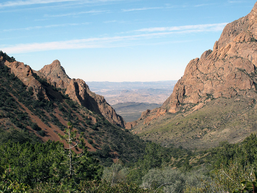
“Window” view from Laguna Meadow Trail
The first question to answer is, which side to start on? The Pinnacle Trail is shorter and steeper. The Laguna Meadow Trail is longer and spreads out the elevation change. I prefer to get the steep climb out of way in the morning shade and enjoy a more relaxed hike the rest of the day, strolling back down Laguna Meadow to the trailhead in the late afternoon. Others would rather approach the steep Pinnacle Trail downhill.
The next question is, do you want to see the 360 degree top-of-the-world view from the park’s highest point – Emory Peak (7,825 feet)? It will cost you another two miles roundtrip and another 500 feet of climb.
Finally, how long a hike do you want? If you have the time and energy, the Northeast and Southeast Rim Trails add 2.5 miles but give you an extended view of Juniper Canyon and the South Rim escarpment.
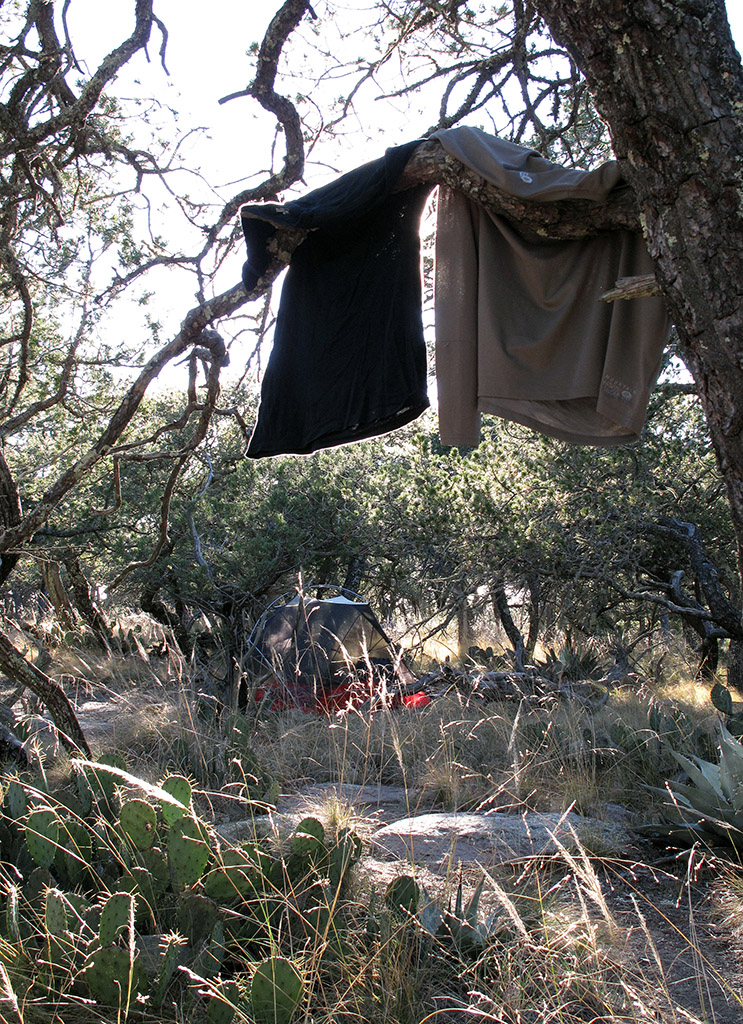
The short roundtrip is a long day hike of 6-8 hours, particularly if you spend some downtime at the South Rim. If you do Emory Peak or the extended hike around the rim, an overnight backpack at one of the primitive campsites along the way makes more sense. The campsites along the Southeast Rim Trail, which are wisely set back a ways from the rim, make a good waypoint and leave some dramatic views ahead for the next morning.
So, here are the options:
- 11.6 miles – Pinnacles-Emory Peak-Boot Spring-Colima-Laguna Meadow. Foregoing the South Rim and settling for the spectacular views from atop the park’s highest peak.
- 12 miles – Pinnacles-Boot Canyon-Laguna Meadow. A long day hike to the South Rim and back.
- 14 miles – Pinnacles-Emory Peak-Boot Canyon-Laguna Meadow. A lot of climbing, but you catch both Emory Peak and the South Rim.
- 14.5 miles – Pinnacles-Boot Canyon-Northeast Rim-Southeast Rim-Laguna Meadow. The extended hike around the South Rim – my favorite overnight backpack at Big Bend.
- 16.5 miles – Pinnacles-Emory Peak-Boot Canyon-Northeast Rim-Southeast Rim-Laguna Meadow. The complete South Rim experience, but long and strenuous.
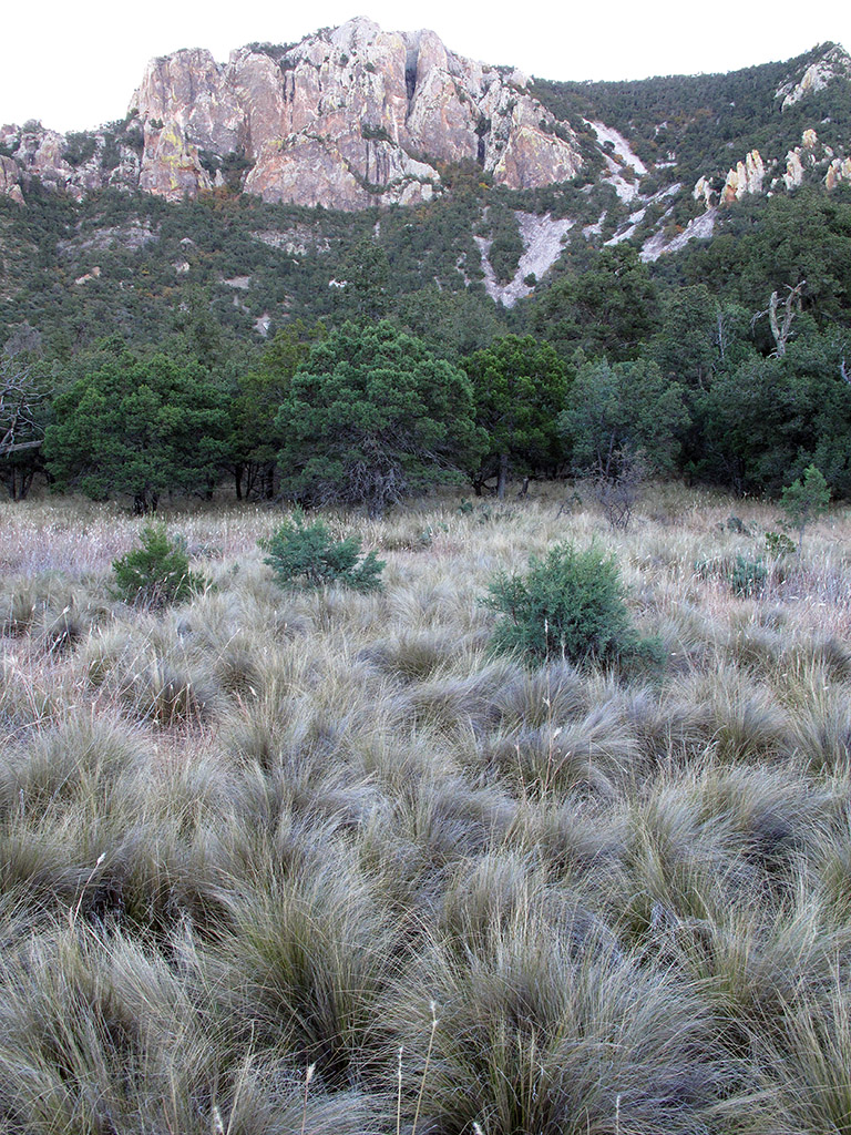
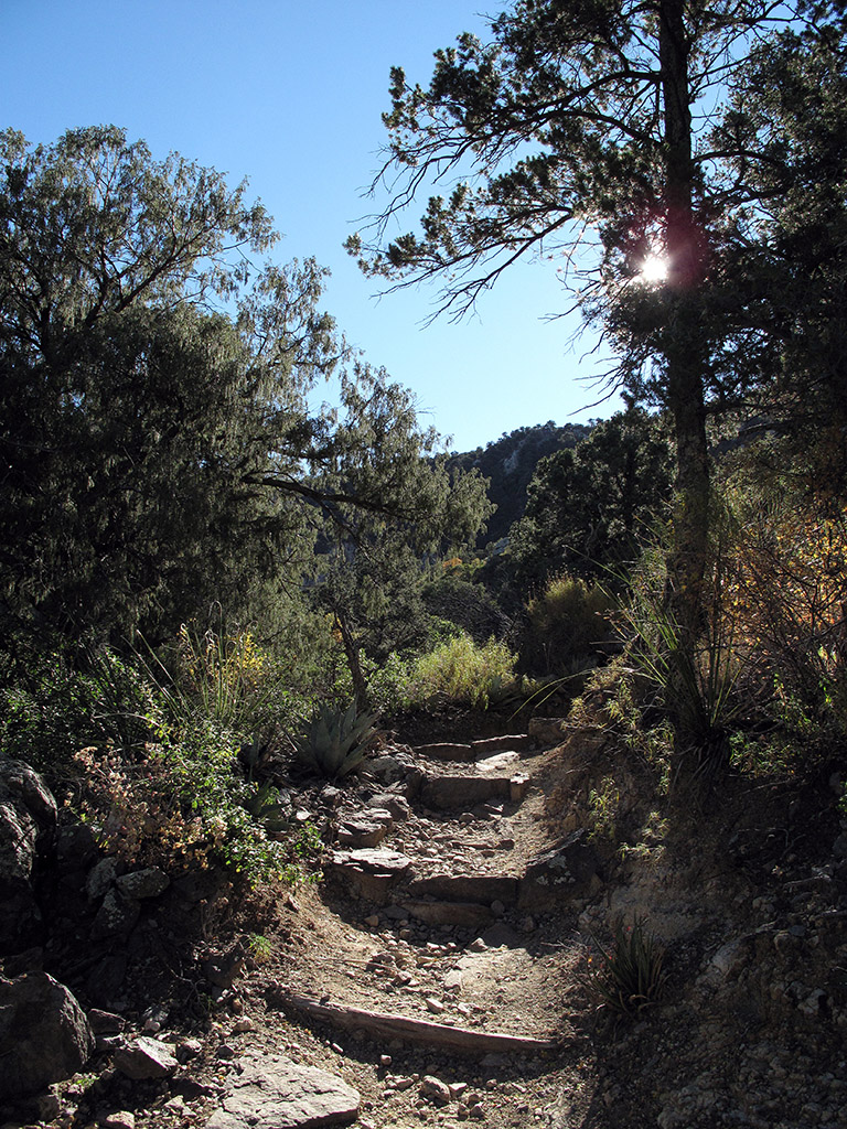
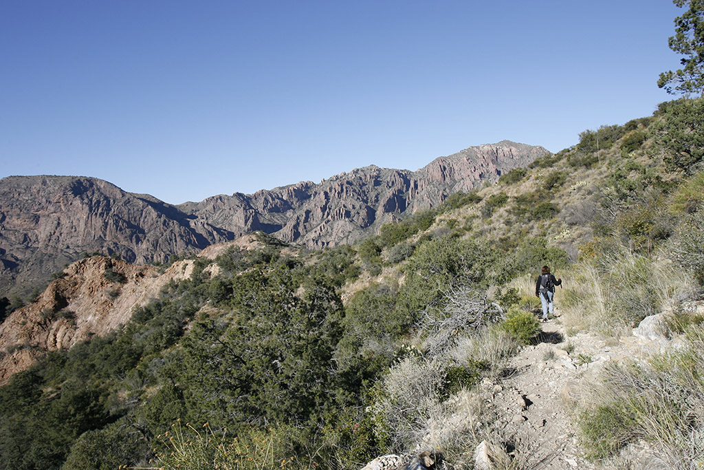
The trail begins near the Chisos Basin parking lot and leads to a fork where you choose either the Pinnacle or Laguna Meadow Trail. If you take the Pinnacle Trail, after a short initial climb it flattens out into a grass meadow and climbs slowly through a sparse forest of scrub oak, pine and juniper. Don’t be lulled into complacency, though. In the last mile, the trail begins a series of steep switchbacks, and the final assault may require a bit of scrambling. If you look up, you can see the sun breaking through the saddle between Toll Mountain and Emory Peak. When you get to the top, the up-and-back Emory Peak Trail is just ahead.
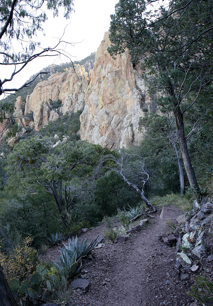
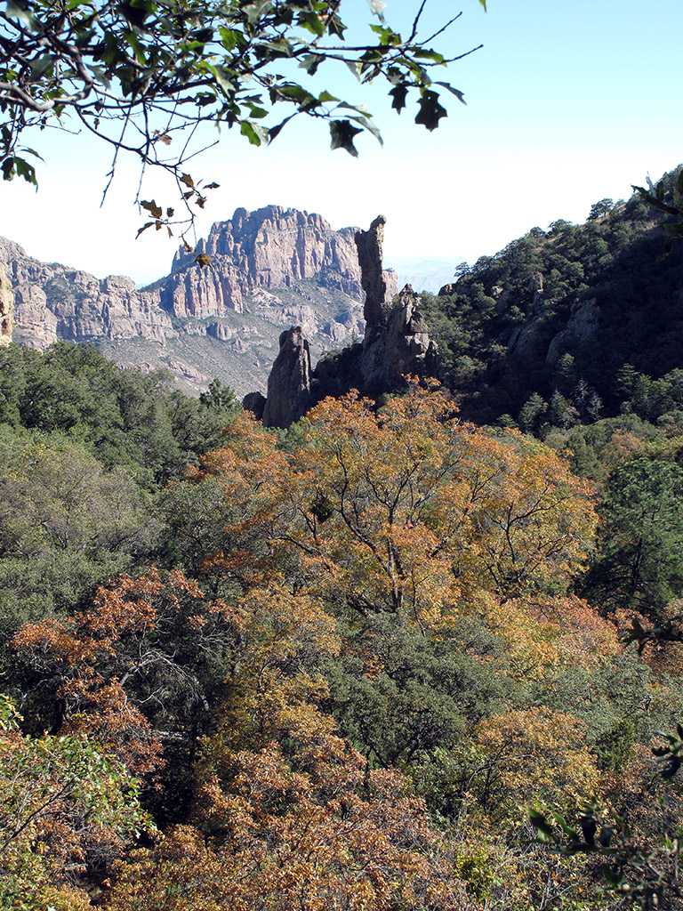
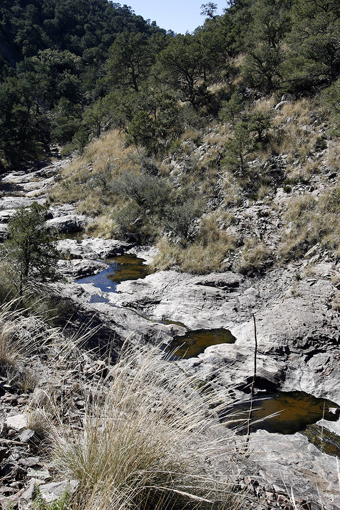
At this point, you’re just 3.5 miles and less than three hours into the hike and – unless you’ve decided to tackle Emory Peak – the rest is a flat to moderate climb. From here, the path dips into Boot Canyon, so named for the rock outcropping that resembles an upturned cowboy boot. Now called the Boot Spring or Boot Canyon trail, the path enters a valley of Bigtooth maples and then parallels a series of seasonal pools.
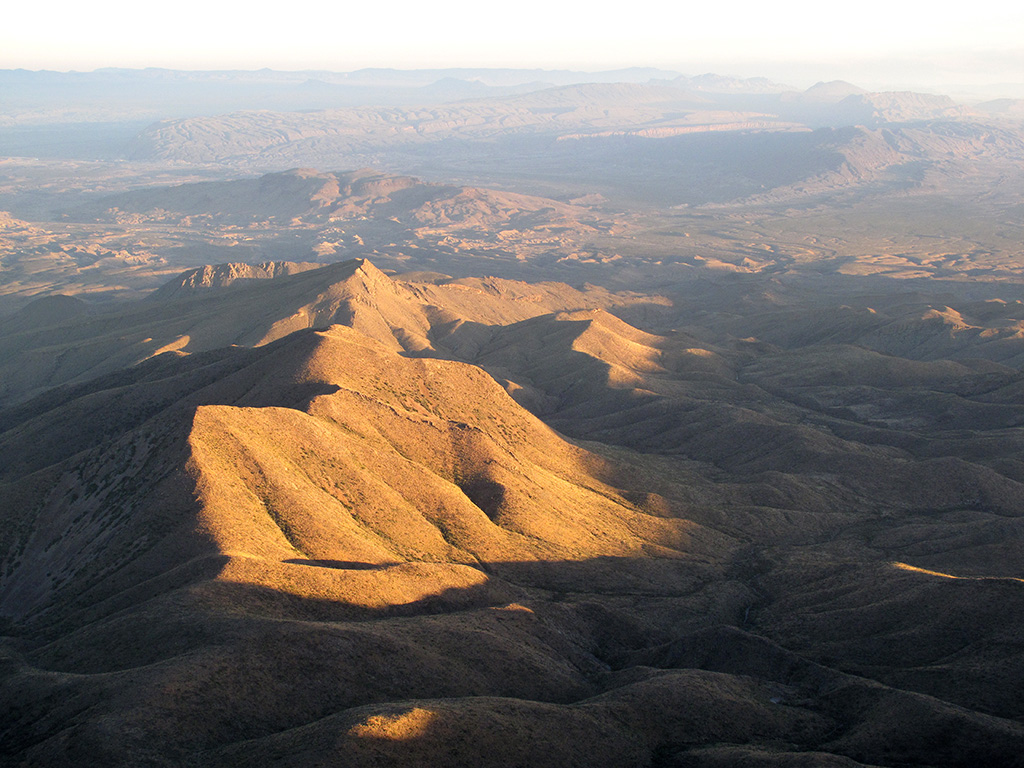
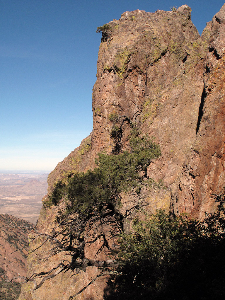
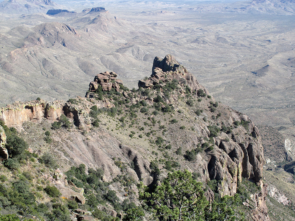
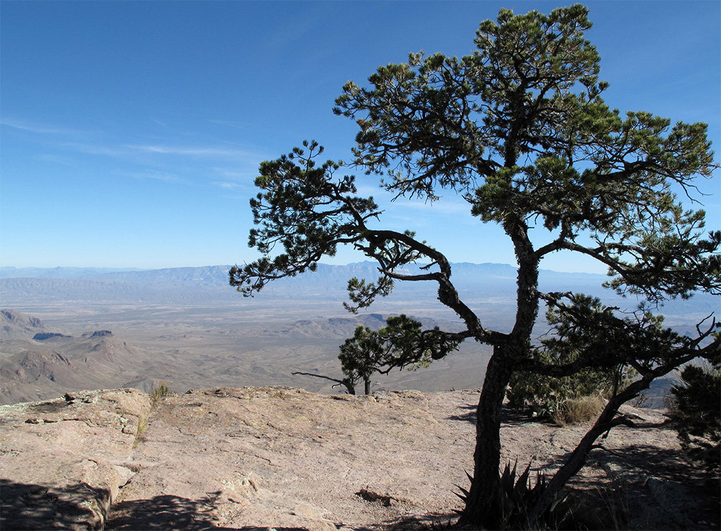
When you come to the junction with the Northeast Rim trail, you have a decision. Continue straight, and you’re a mile from the South Rim. Take the Northeast Rim Trail and you’ll travel a more scenic 3.3 miles to the same place. When you arrive, take a break, strech out on a flat rock above the cliff and enjoy the view. If it’s not too hazy, you can see the bluffs along the Rio Grande, more than 20 miles away.
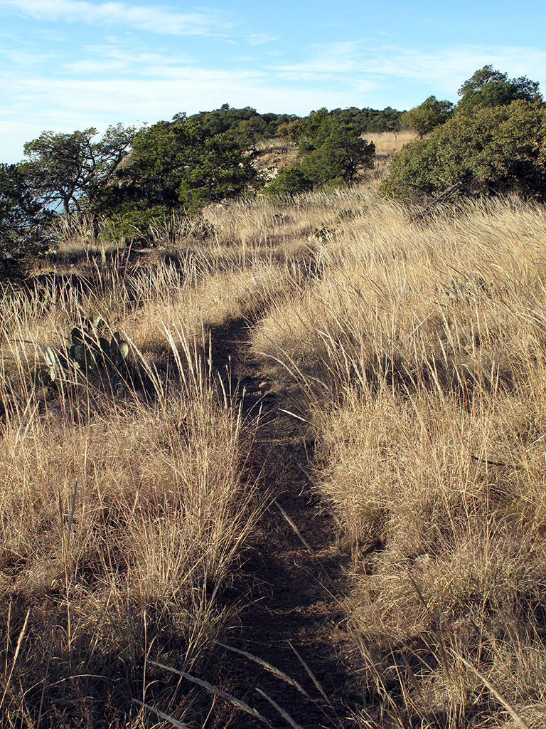
The Laguna Meadow trail is a pleasant downhill run back to the trailhead, passing along grassy hillsides and through light forest.
• • •


