
Three trails are devoted to hiking.

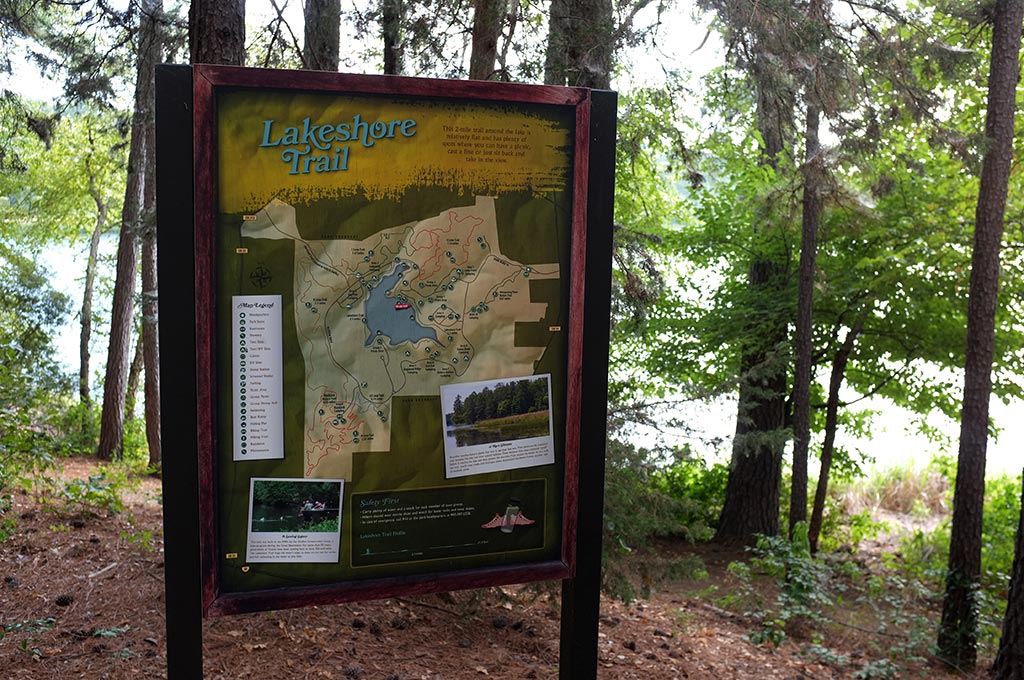
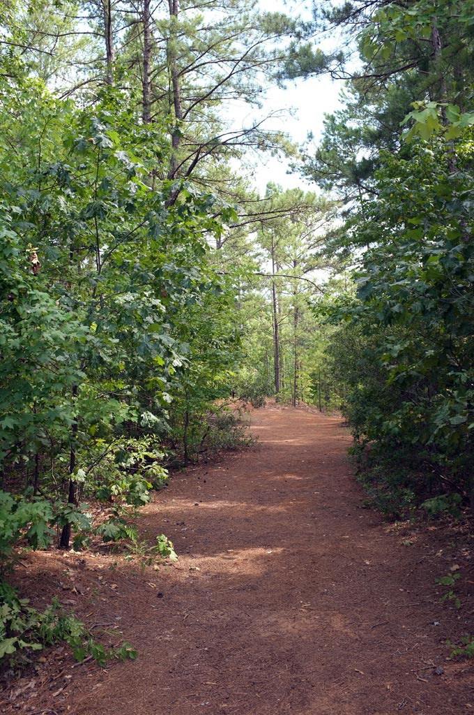
Lakeshore Trail heads into the woods
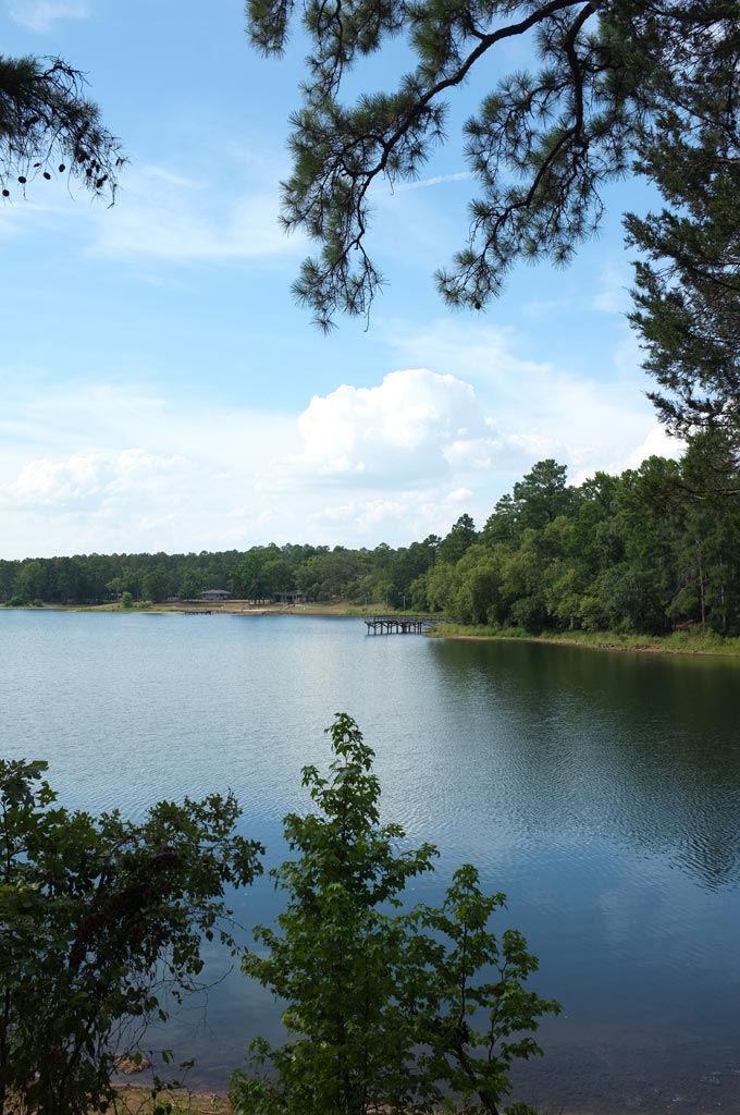
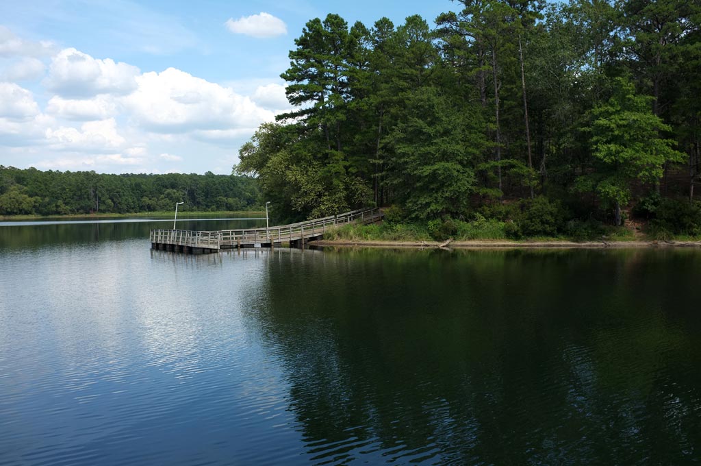
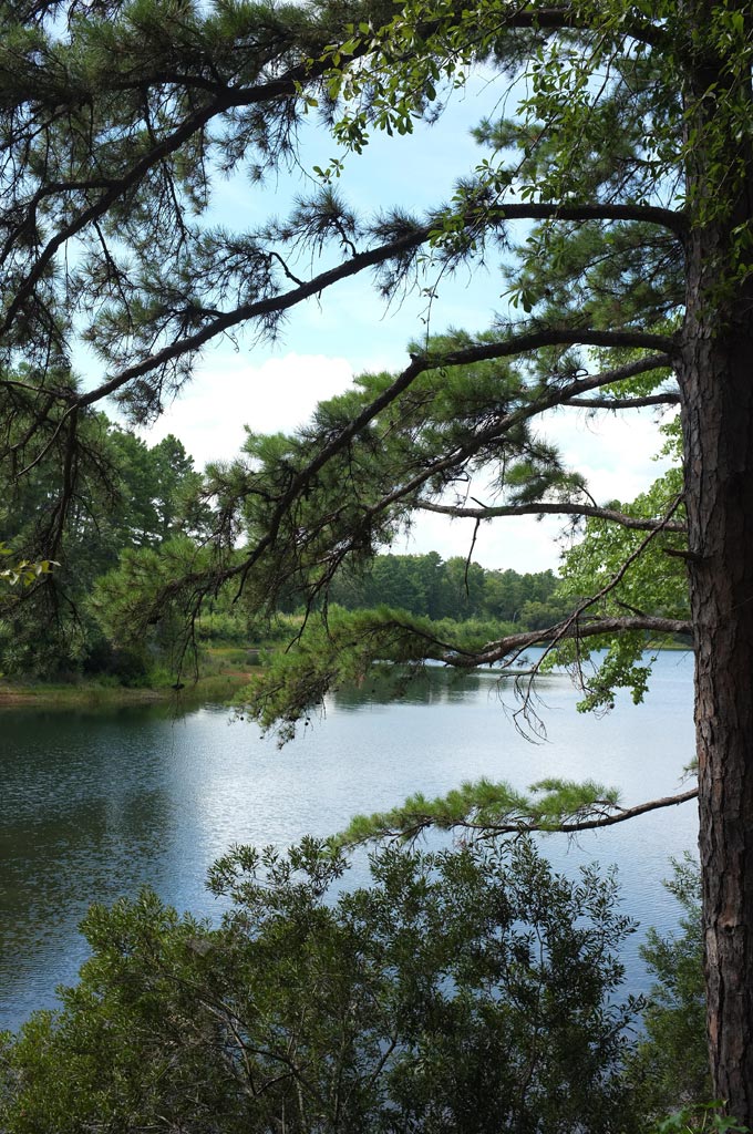
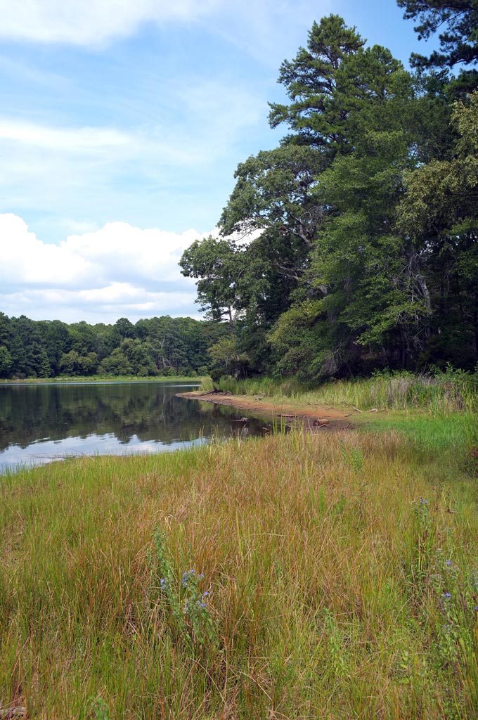
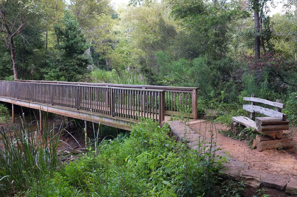
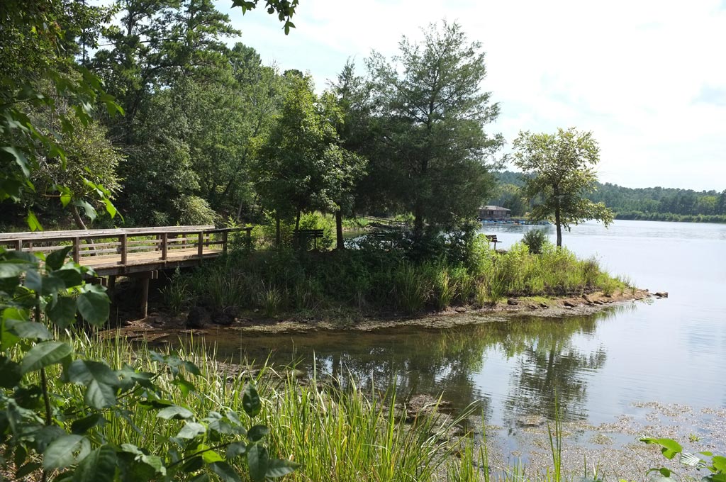
- The Lakeshore Trail (2.1 miles) circles the lake, beginning near the Lakeview camping area. From there, a wide section of the trail crosses over an earthen embankment and into the pineywoods. Around the first bend, a small fishing pier reaches into the lake. The trail follows an eroding embankment high above the lake, with many side and parallel trails closer to the shore. At the far end of the lake, it crosses a long wood bridge over the end of a narrow cove than ends in a group of beaver ponds, though it gets more swampy when the lake is low. The far side of the lake is more heavily shaded. The trail emerges from the woods near another fishing pier and follows the lakeshore through its more developed areas to a small island near the original trail head.
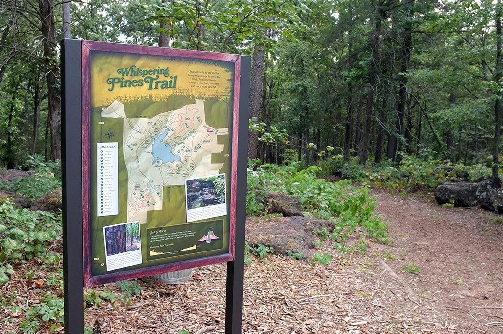
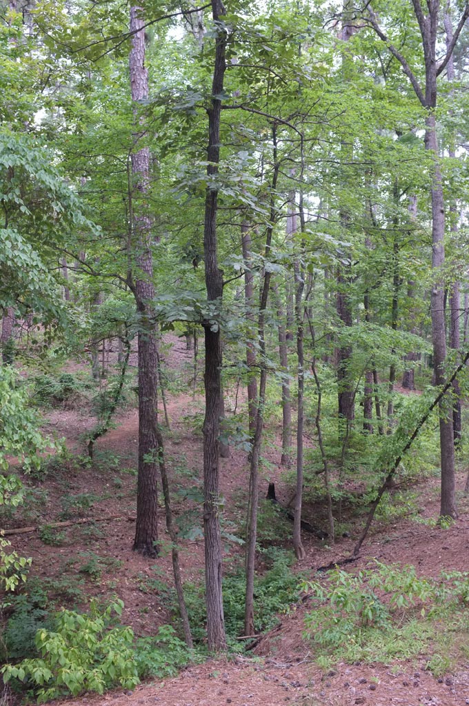
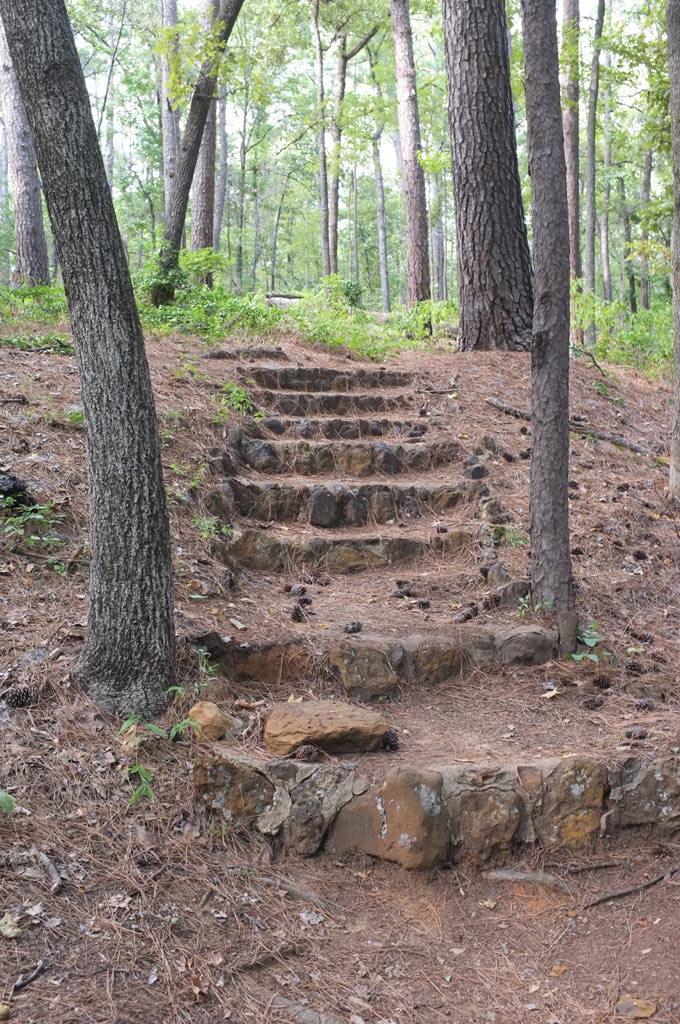
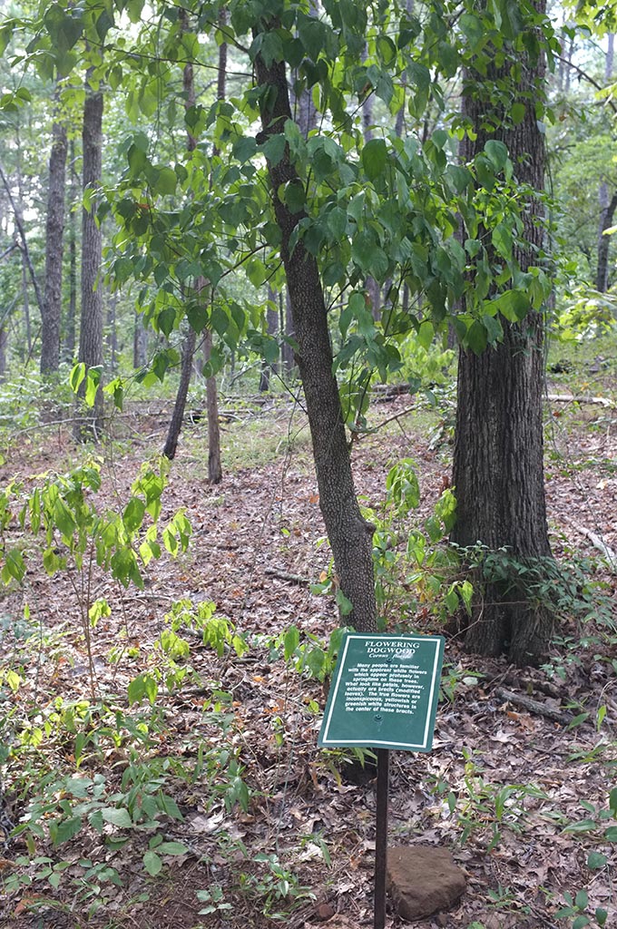
- The Whispering Pines Trail (0.75 mile) is a short, interpretive walk through a pine forest. The trail out is mostly downhill, so the climb back up – including a stone staircase – does not come as a surprise. The pines are tall, many of them planted by the Civilian Conservation Corps. Interpretive signs identify dogwoods, sassafras and other flora. A guidebook to the trail is available in the visitors center. There’s a stone wading pool at the top of the trail, but on a recent visit it was bone dry.
- The Blackjack Trail (0.35 mile) is a relatively flat nature trail off the Black Jack camping area that crosses a grassy Texas savannah.
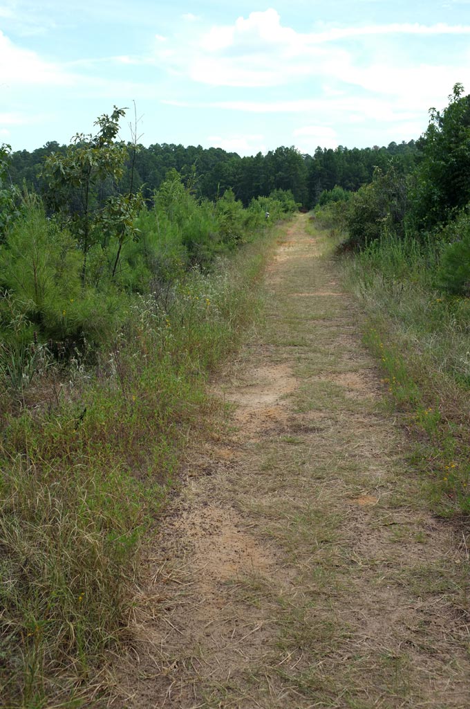
The park’s five Loop trails – which together cover about 10 miles – are designed for both hikers and mountain bikers, so you’ll often have to share the path. Their attraction is the twisting ups and downs they take through the park’s densely wooded creek valleys.
The EZ Loop is the shortest (0.75 mile) and least challenging of the five: it crosses back and forth over one woodland hollow. But all the loops are connected, so from the EZ Loop, you can launch into either the A Loop (2.5 miles) or the B Loop (3.1 miles), both of which run along the west side of the park. The two most challenging trails are on the north side, the C Loop (1.5 miles) and the D Loop (2.1 miles). Though both are shorter, their climbs are steeper.