The splash of color comes from a large stand of Uvalde bigtooth maples, whose leaves turn between the last two weeks of October and the first two of November. The timing and extent of the change in foliage varies from year to year depending on rainfall and the arrival of cold fronts. To get the timing right, visit the Texas Parks & Wildlife Department’s weekly foliage report and forecast. Last season, peak color came in early November.
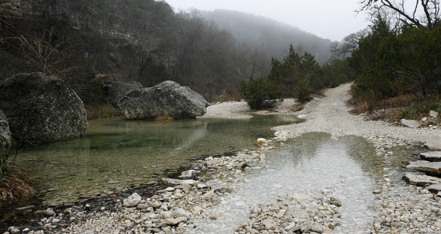
The park’s steep limestone canyons, cascading forest, extensive grasslands, underground springs and crystal streams are still there – and less crowded – the rest of the year. The wilderness along the Sabinal River attracts several rare bird species, including the Green Kingfisher, Black-capped Vireo and Golden-cheeked Warbler. The woods abound with gray foxes, white-tailed deer, armadillos, raccoons, bobcatss, rock squirrels and javelinas.
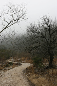
Two trails loop through the park’s canyons. The 4.6-mile East Trail follows the Sabinal River and Hale Hollow Creek. The 4.9-mile West Trail follows Can Creek and climbs through Mystic Canyon. Both trails have primitive camping areas and require some steep climbs. The Maple Trail and the beginning of the East Trail together make a much shorter, casual loop.
PARK GALLERY


