At a glance
Distance: 7 to 10.2 miles roundtrip
Elevation change: Just 200 feet to the Grotto; 2,600 feet more to The Notch
Hiking time: 3 hours roundtrip to the Grotto; 5-6 hours to The Notch and back.
Highlights: A colorful path following a desert stream along the canyon floor, an odd cave at the Grotto and then spectacular canyon views up to The Notch.
Difficulty: ★★☆☆☆/★★★★★
An easy, flat up-and-down path to the Grotto and then a difficult, exhausting climb of 2,600 feet to The Notch
Trail conditions: ★★★★☆
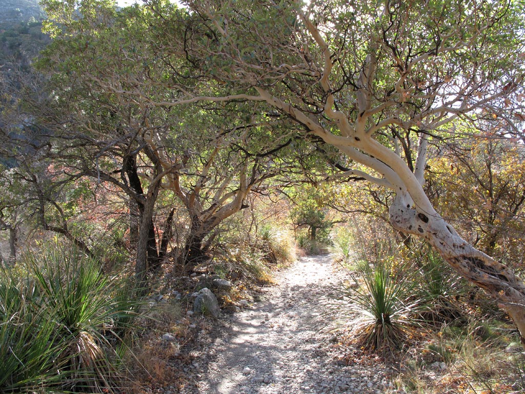
The trail is a broad gravel and dirt path for most of its length except for a rocky climb near the end.
Scenery: ★★★★☆
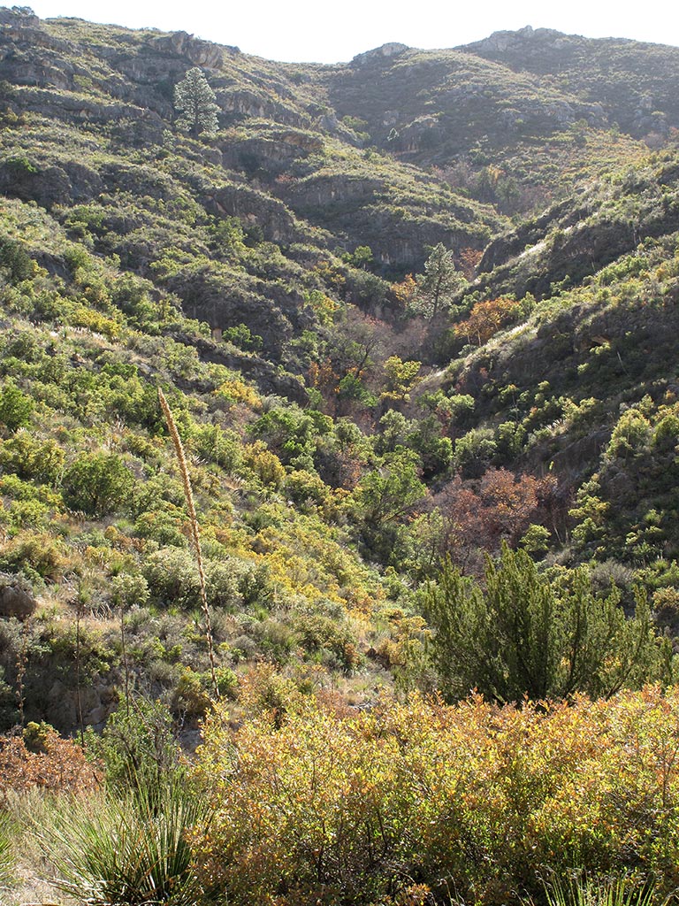
A leisurely walk through the desert forest of the canyon floor and the rocky bluffs of the canyon if you go to The Notch.
Solitude: ★☆☆☆☆
A heavily traveled, popular trail up to the Grotto
Other reviews
• McKittrick Canyon on the national park site
• McKittrick Canyon on Trip Advisor
If you do the easy part of the trail to an unusual cave formation at the Grotto, it’s 7 miles out and back. If you climb what some people refer to as “the Big Sweat” up the side of the canyon, you’re adding three miles and probably three hours to your trip.

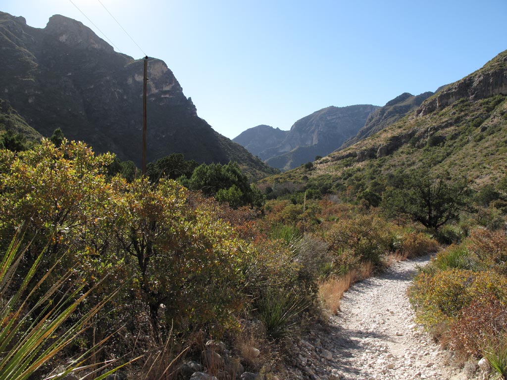
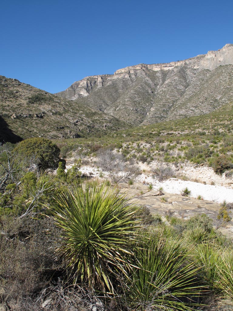
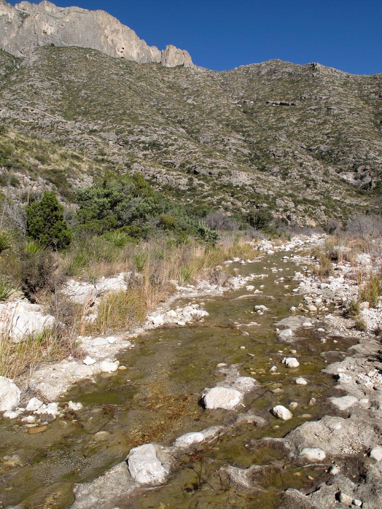
The trail follows a desert stream
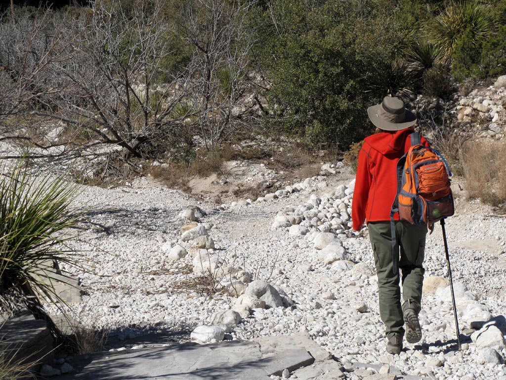
The trail begins with a desert landscape of grasses, cactus and scrubby trees and gradually transitions to a low forest of pine, oak, maple and Texas madrone. In the fall, it may be the park’s most beautiful hike as the forest that covers the canyon floor and creeps up its sides lights up in a blaze of red, orange and yellow.
The trail crosses an intermittent desert stream a couple of times – parts of it almost always have pools of water and parts are little more than a stretch of bleached gravel.
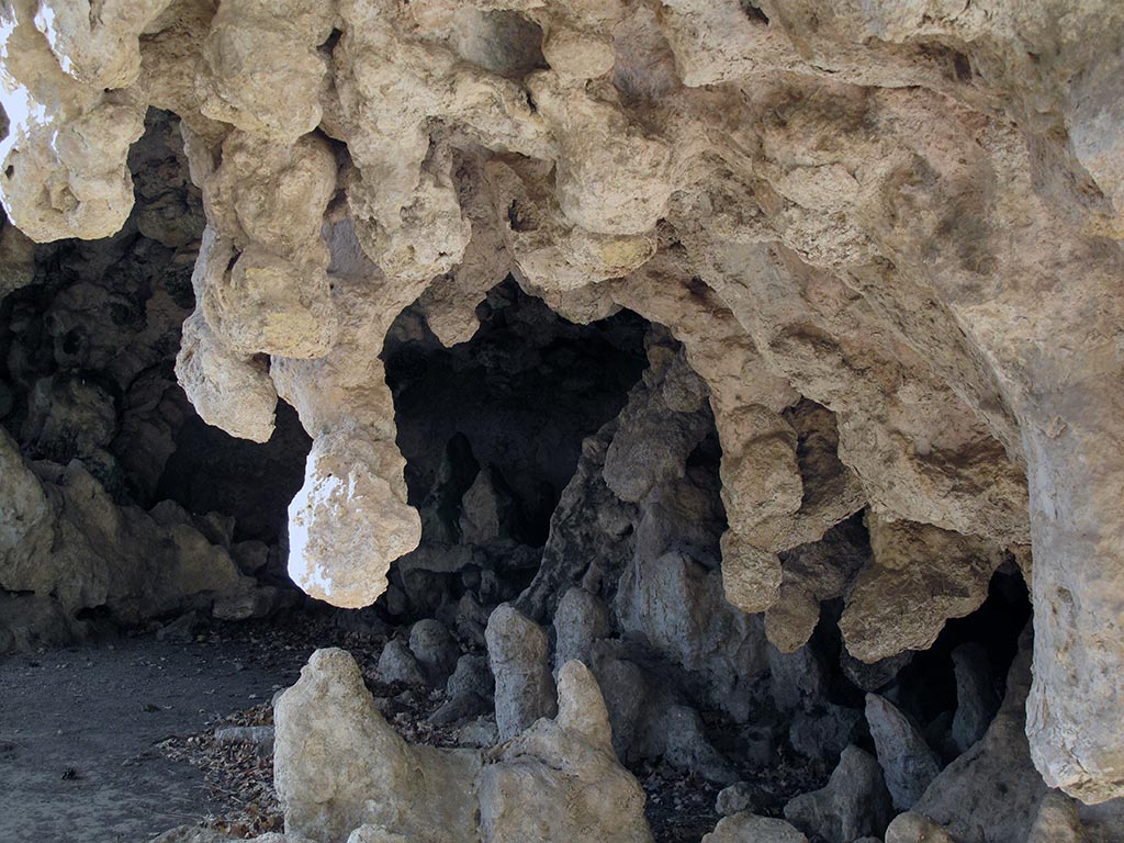
About 2.3 miles in, you’ll come to the Pratt Lodge, where the family that once owned the property lived until about 1957. There’s not much to see there. Another mile down the trail you come to the Grotto, a shallow cave with muddy, arthritic fingers of rock created by dripping water. A short spur trail takes you to the Hunter Line Cabin, which was a temporary quarters for ranch hands. Again, there’s not much to see there.
If you’re in for an easy hike, it’s time to turn back. If not, about a half-mile further down the trail is the staggering climb up the side of the canyon to The Notch.
In addition to the McKittrick Canyon Trail, there’s a short interpretive loop of less than a mile near the trail head that introduces you to the desert flora and fauna.
• • •


