At a glance
Distance: 8 miles roundtrip to Mckittrick Canyon; 14.8 miles to McKittrick Ridge
Elevation change: 1,500 feet
Hiking time: 5-8 hours
Highlights: The sweeping hills and valleys of Dog Canyon and the rugged beauty of McKittrick Canyon
Difficulty: ★★★☆☆
A steady, sometimes steep climb to Lost Peak, then tracking the canyon rim
Trail conditions: ★★★★☆
The trail varies moves from dirt to loose gravel to rock but is easy to follow
Scenery: ★★★★☆
Steep rolling hills, vast landscapes and a rocky canyon toward the end
Solitude: ★★★★☆
Being on the far north end of the park and a relatively long trail makes for a quiet hike.
Other reviews
• Lost peak on EveryTrail.com
• Tejas Trail to Lost Peak on Trails.com

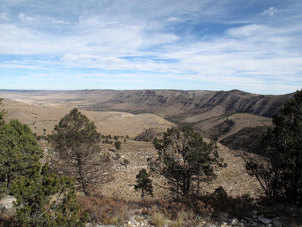
The rocky walls of McKittrick Canyon
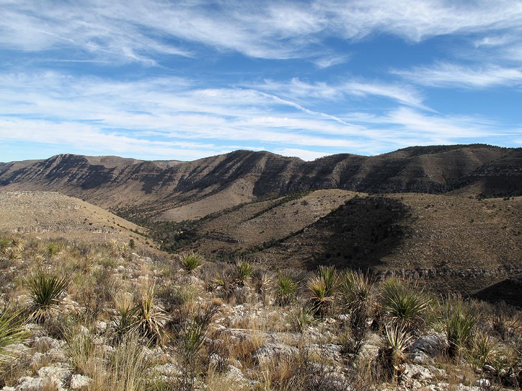
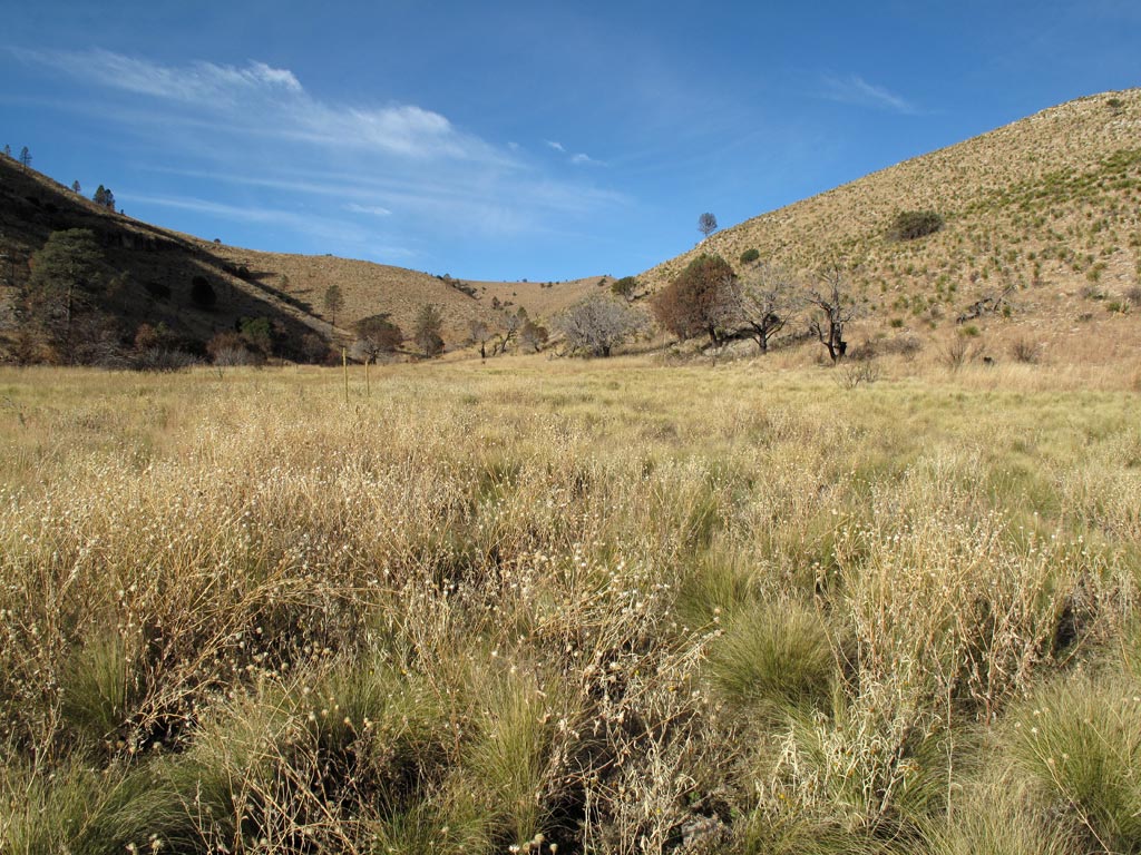
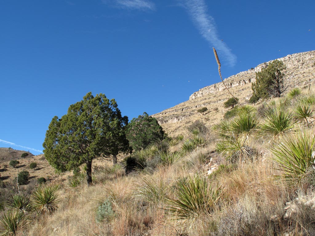
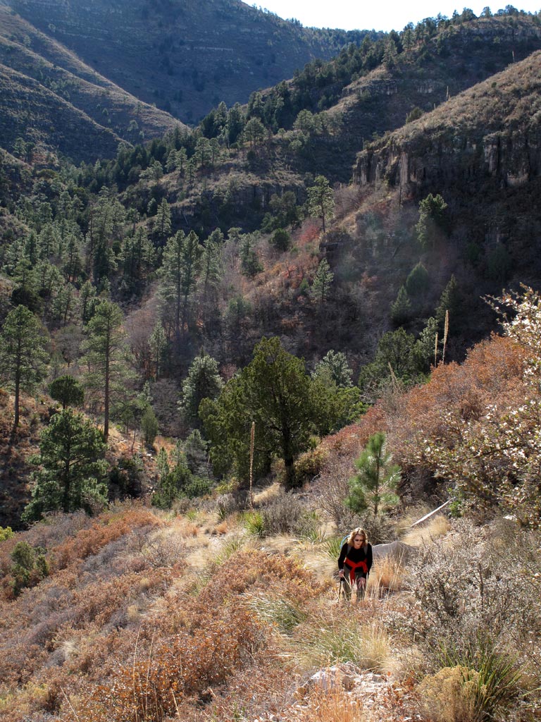
The hike begins on the Tejas Trail at the Dog Canyon trail head. After crossing a grassy meadow, the trail winds through scrubby desert hillsides and forests of juniper, pine and oak. As the trail climbs out of the canyon toward Lost Peak, panoramic views open up onto valleys on either side of the ridge with mountains in the distance. The hike reaches its high point at Lost Peak (7,830 feet), from where you can look off into McKittrick Canyon.
From there, the trail flattens out and, about a mile past the peak, meets up with the McKittrick Canyon Trail. Follow that trail to the left, deeper into McKittrick Canyon. The trail gets rockier as it curves along the canyon rim, dipping down again before climbing back up to McKittrick Ridge. Along the path, steep gray peaks loom on the other side of the canyon.
The hike can be as long or as short as you want it. To Lost Peak and back is 6.4 miles. To the beginning of the McKittrick Trail is about 8.2 miles roundtrip. To the first big bend in McKittrick Canyon is about 10 miles, and to McKittrick Ridge and back is about 14.8 miles. If you continue on the trail down into the canyon, the hike is again close to 15 miles. The views are spectacular, but the trail drops 2,600 feet in a short stretch, and you’ll need a ride back to Dog Canyon. Another option is to hike the canyon floor separately from the other end.
• • •


