At a glance
Distance: 1.5 miles roundtrip
Elevation change: About 175 feet
Hiking time: 1-2 hours
Highlights: A short climb over rocky terrain to a string of desert ponds
Difficulty: ★★★☆☆
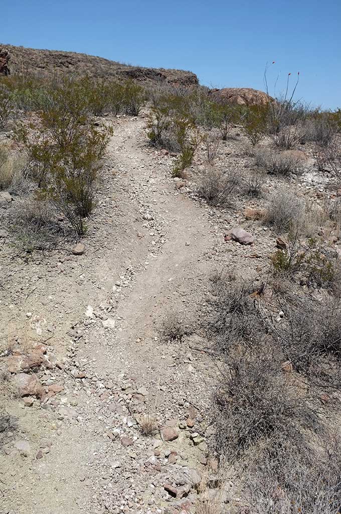
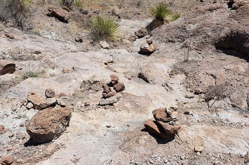
Although the trail is short, there are a few steep up-and-down climbs and navigational challenges
Trail conditions: ★★☆☆☆
The trail is rocky, rough and at times hard to follow
Scenery: ★★★☆☆
An oasis of flowers and shallow ponds amid the sculpted rock of a dry creek bed
Solitude: ★★★★★
There’s relatively little traffic in the northern side of the park
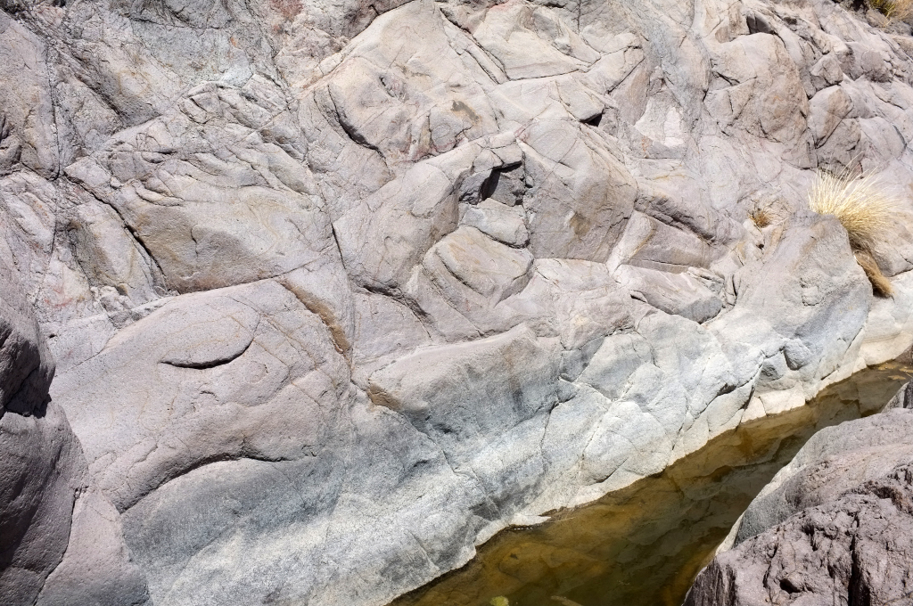
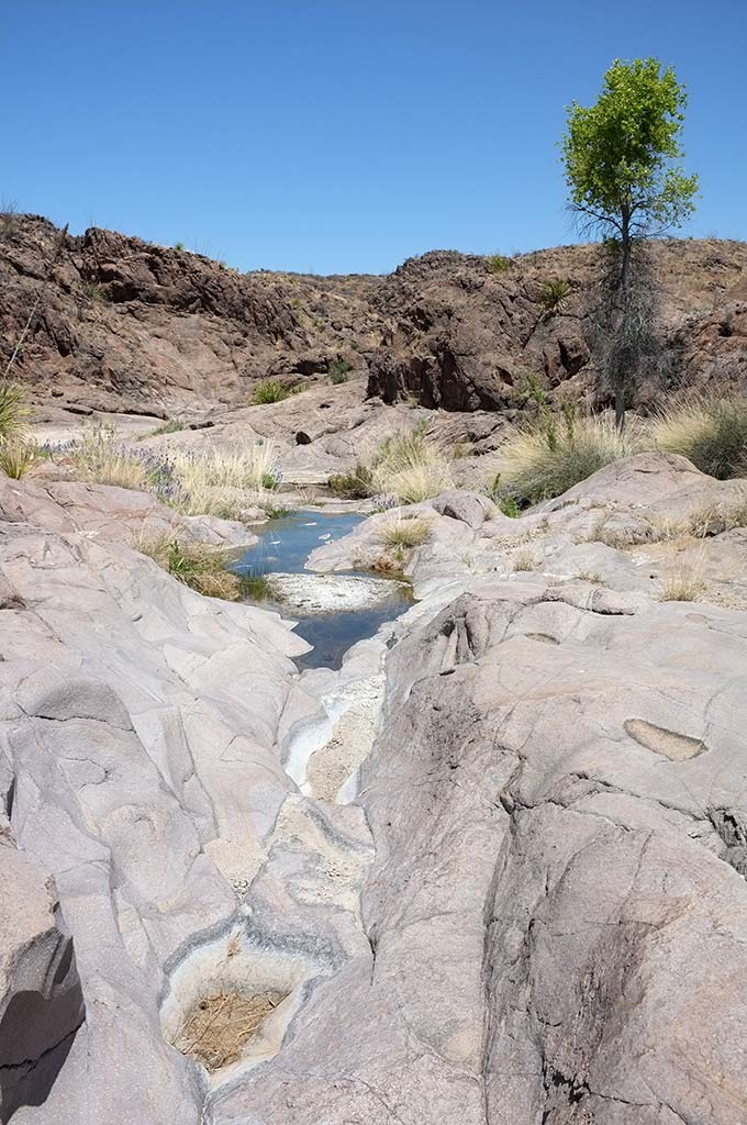
In Spanish, a tinaja is a large earthenware jar, and that appropriately describes these five irregular, interconnected ponds etched in the canyon floor.
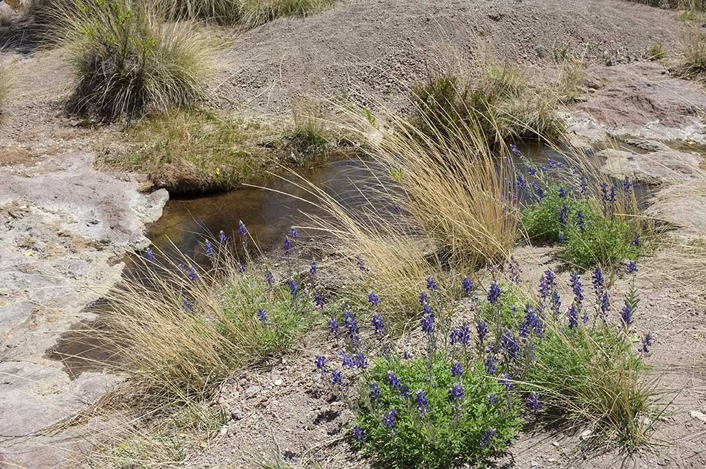
Wildflowers growing around a pool of water along the Cinco Tinajas Trail
Shallow puddles of water collect along Leyva Creek at the mouth of the canyon, where wispy grasses, wildflowers and a solitary cottonwood tree cluster around this moist oasis that draws lizards, birds and other wildlife. The deeper pools of the tinajas emerge farther up the smooth, sculpted canyon as it narrows.
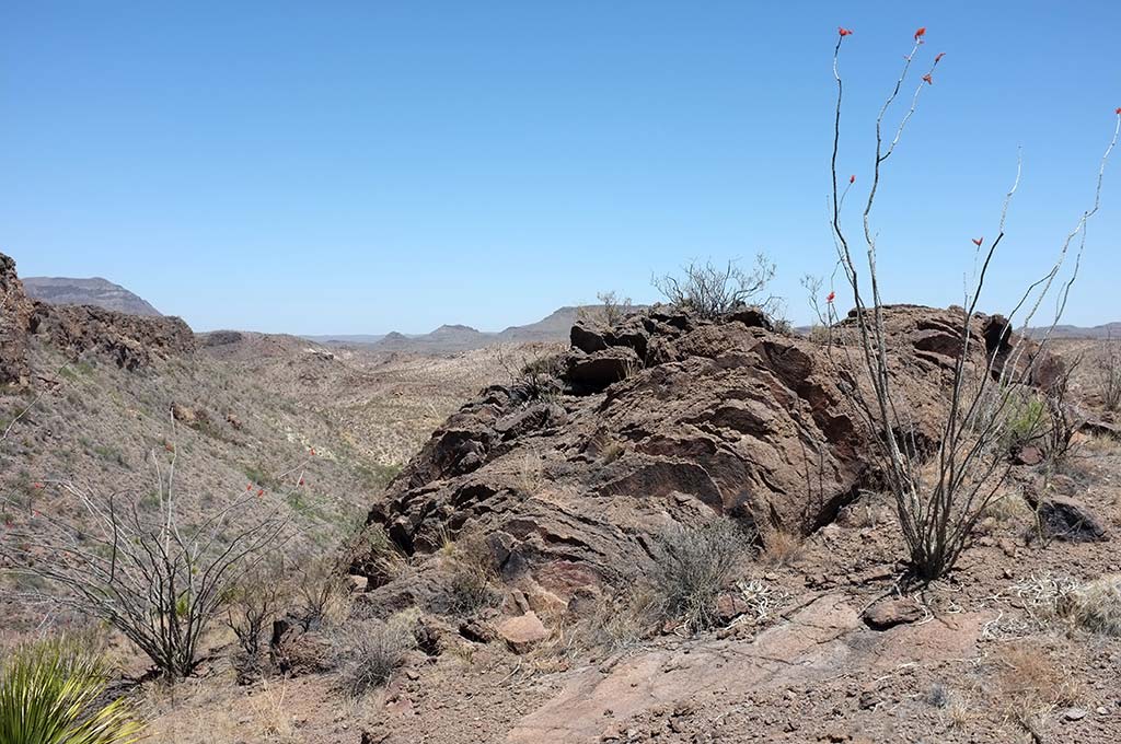
But the tinajas are not the only attraction here. The views of the desert and surrounding mountains are spectacular, as the park’s Solitario newsletter from Fall 2007 describes:
Backtrack to the canyon rim for panoramic views of a large part of the park. The Bofecillos highlands … form much of the center of the park. La Mota is a flat-topped mountain lying almost due north. The Cienaga Mountains that form parts of the park’s northern boundary lie in the distance north-northwest of La Mota. Fresno Peak, the high point of the Southwest Rim of the Solitario is visible to the east-southeast … It is seldom that such a short hike can reveal so many incredible vistas.